Let’s Find A Pressure Washer For You.
Your Trusted Source for Pressure Washer Expert Reviews, Project Guides and Pressure Washer Maintenance.
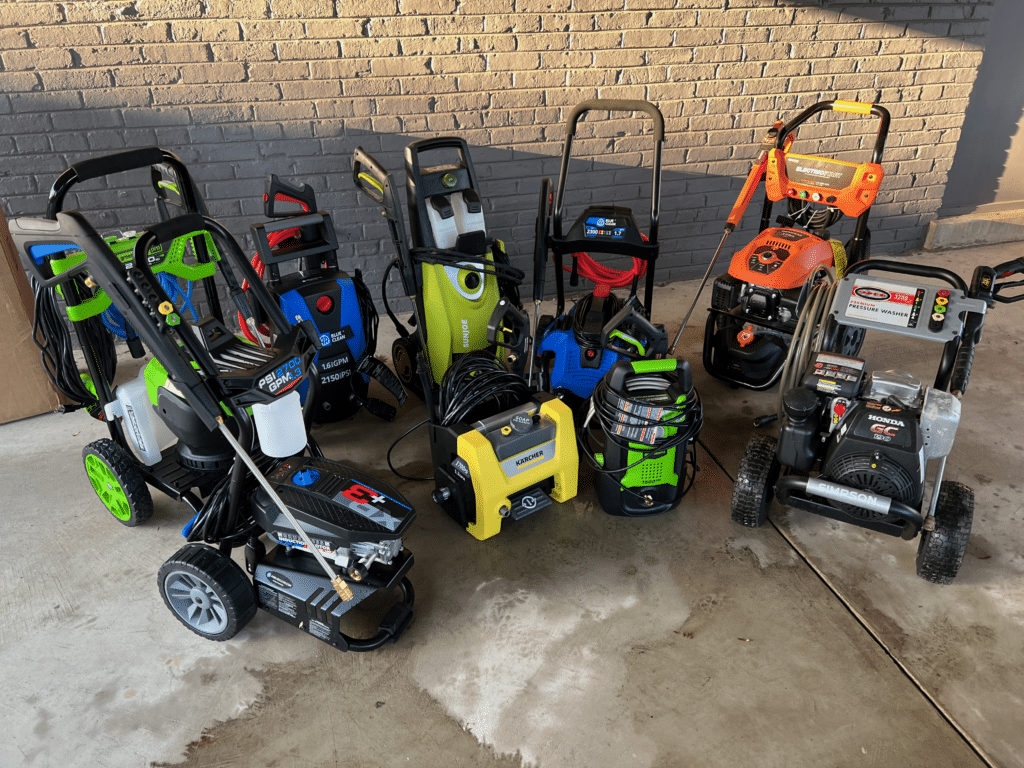
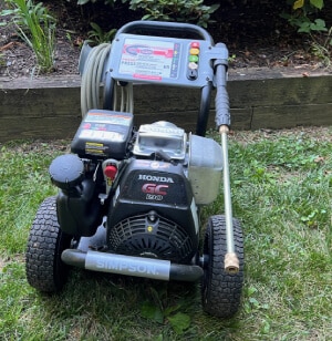
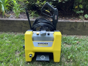
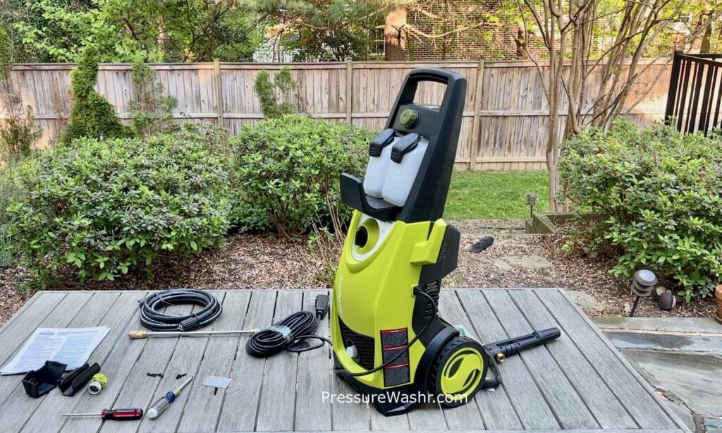
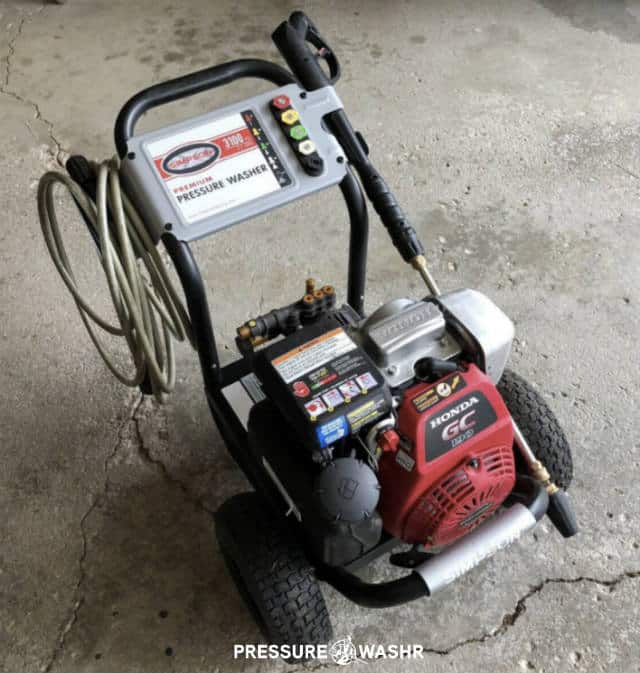
Best Pressure Washer
3,128 people used this page last month to find their pressure washer. Here’s the all-stars: The 2 best gas and 3 best electric.
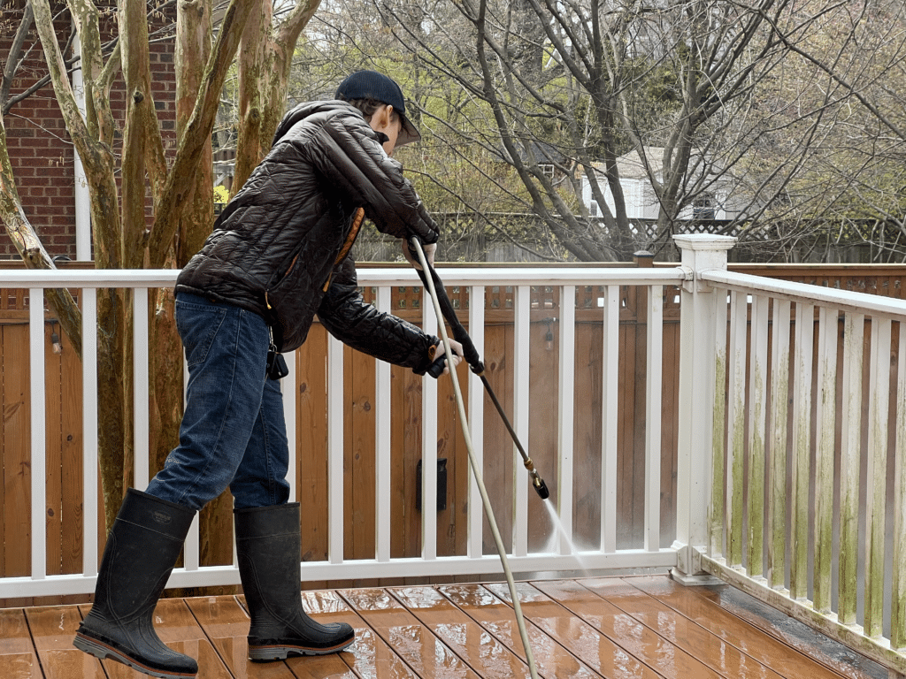
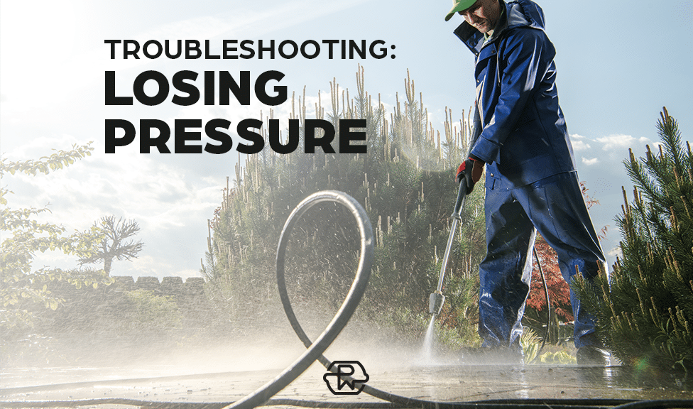
Using Your Pressure Washer
What’s the Best Way to Remove Mold from Siding? We Tested 3 Cleaning Options
Latest Hands-on Reviews
Choose by Cleaning Power
Match the best pressure washer by how you plan to use it.
Best Light Duty
Wash your cars, patio furniture, lawn equipment and small concrete areas.
Best Medium Duty
Wash all light-duty jobs plus your oily garage floor, driveway and deck.
Best Heavy Duty
Pressure wash everything faster and better than light and medium-duty.
7 Pressure Cleaner Review Categories, Parts and Accessories That Matter
Engines
Gas pressure cleaners have engines to power the pump. Engines are measured by the size of their compression chamber in cubic centimetres (cc). The bigger the cc the more powerful the engine. A typical pressure washer engine is the Honda GCV190. The 190 refers to the engine being 190cc.
Motors
Electric cleaners use motors to power the pump. They will be described by their Watts or Amps – giving the energy provided. You’ll see these types of motors:
- Universal (Least $) – Very light and portable. Low cost yet reliable for small jobs. Can be quite loud.
- Induction (Medium $$) – A high quality motor that you pay extra for but get higher performance. Very quiet and long lasting.
- Water-cooled (Most $$$) – Higher cost, more reliable. Water cools the motor to increase life. A feature of an induction motor.
Pumps
Most pressure washer pumps of the residential style use axial pumps (also called swash plate or wobble plate pumps). The more expensive heavy-duty units will use triplex plunger pumps – driven by a crankshaft like your car engine. Popular brands include Kranzle, CAT, COMET, General Pump and Annovi Reverberi. Here’s what you need to know:
- Wobble pump (Least $) – Life of pump is estimated at 3 years using it 2 hours per weekend. Not replaceable or repairable.
- Wobble pump with stainless steel plungers and brass head (Most $$$)- Service life is basically unlimited if you take care and perform regular services.
- Triplex (Most $$$) – Designed for daily use. Contractor/job-site use or rental should have triplex pump. Life will be further extended with proper care and maintenance. 10x axial pump life.
Hot/Cold Water
Hot water cleans better than cold water. There’s a reason your dishwasher uses hot water… A hot water pressure washer takes room temp water and heats it up 140F (60C) with an onboard burner/heating coil. They cost at least $1500 more than cold water units. The best pros usually have one in their tool-kit.
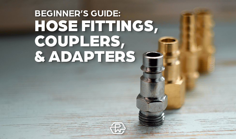
Hoses
Pressure washer hoses come in a variety of lengths, diameters, materials and connection types. The most common diameter is 1/4-inch. Among professional contractors 3/8-inch hoses are more common to allow for the higher flow rate of water coming from their machines. In terms of hose material the most common is the plastic hose and that’s what you see included on the residential electric and many gas pressure cleaners out-of-the-box. If you want to spend an extra $200 you can upgrade to a polyurethane hose for the best flexibility, durability with less weight to drag around.
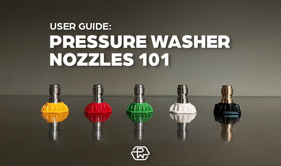
Nozzles
Nozzles spread the water out to vary the area/pressure. There are 7 types of nozzles: A 0-degree nozzle creates a pinpoint jet of water. A 40-degree nozzle spreads/fans out the water so it hits the surface over a wider area thus decreasing the pressure. One of the favorite nozzles for stubborn surfaces is the rotary turbo nozzle. It rotates a 0-degree jet 3000-rpm – giving it the cleaning area of a 25-degree nozzle with 0-degree jet pressure.
Other Attachments
There are 10+ attachments available to help increase the cleaning capacity of your pressure cleaner. The most popular is a surface cleaner that uses 2 or 3 rotating nozzles within a round enclosure to clean flat, large areas much quicker. A foam cannon is also popular and is used to spray thick suds on a surface (like your car, boat or wheelbarrow) as a pre soak. Another add-on is the brush attachment that allows you to push dirt and solids off surfaces without worrying about damaging them with too high of jet pressure.
Helpful Pressure Washing Articles
Do You Need More Help?
Thanks for visiting PressureWashr. We hope the reviews, buying advice and how-to articles help you find the ideal pressure cleaner for your needs (today) and get you using it (the right way) so you don’t damage the surface or yourself. If you want to ask a question please get in touch on Facebook for a quick reply.